Breakfast…then a city-wide bus and walking tour.
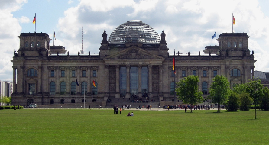
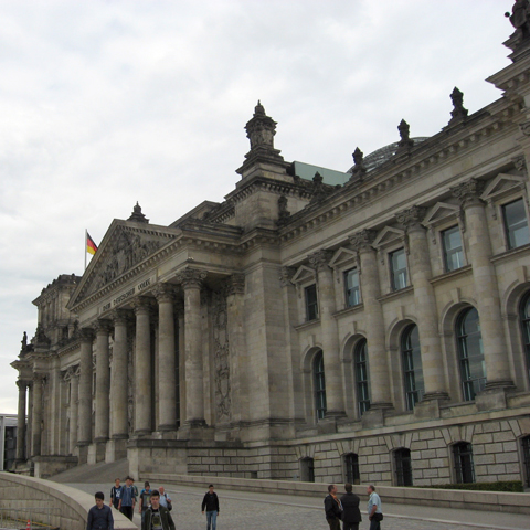
First drop off is near the Brandenberger Tor for a walk-about of the gate, the Memorial for the Murdered Jews of Europe and the Reichstag.
Then, we are taken on a scenic drive through the Tiergarten on Straße des 17 Juni to the Kurfürstendamm (K’dam) — the showcase commercial center of West Berlin — and past the Zoo.
(taken the day before)
What a vibrant district! The broad sidewalks were awash with strolling shoppers and brisk-paced pedestrians enjoying the brilliant sunny weather. Unfortunately, as this was a drive-by tour, it was impossible to properly view and/or photograph the iconic Kaiser Wilhelm Kirche and Memorial.
Our bus driver continued jousting with the heavy traffic of Berlin until he reached a pre-arranged drop-off point where we recommenced our walking tour. As we made our way down the street, there were still visible signs of the destructive power of war left in situ for all posterity.
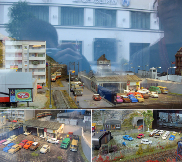
We passed a storefront museum dedicated to the once-ubiquitous East Germany Trabant — the only car built in East Germany while under Soviet occupation. There were little dioramas in the display window of the colorful little Communists’ peoples’ car. As the state extolled in this bit of ’60s propaganda: “Creativity combined with boldness and the revolutionary will of a working class that has been freed from exploitation have given birth to this inconspicuous and yet sensational car.”
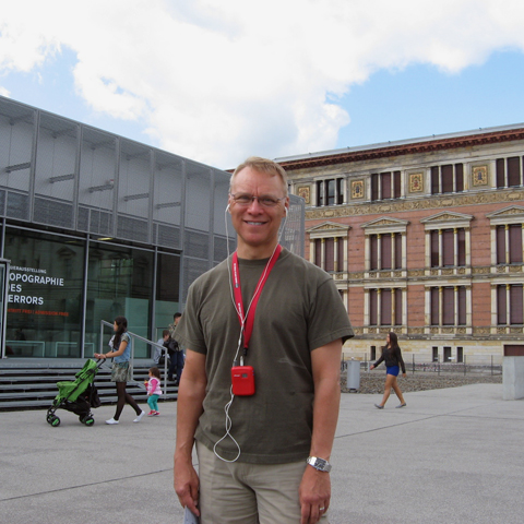
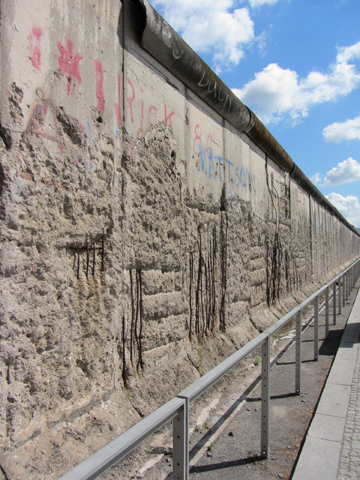
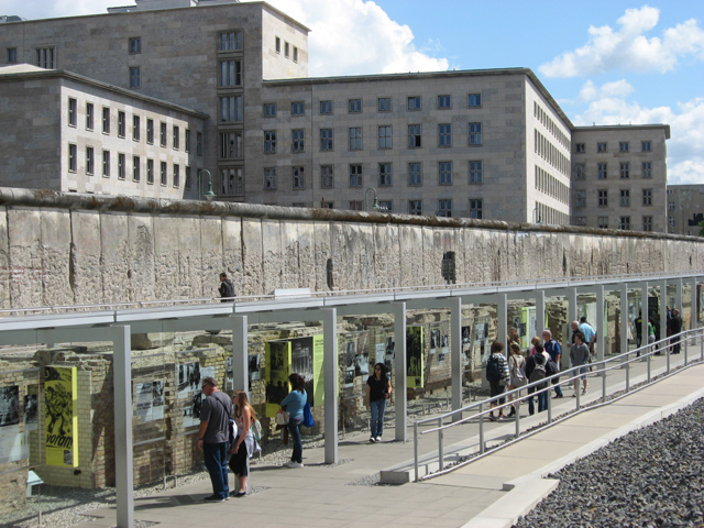
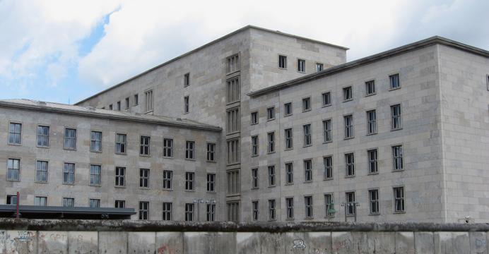
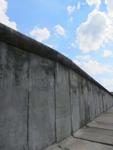
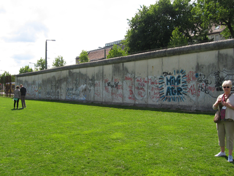
We arrived at the Topographie des Terrors museum. Between 1933 and 1945, the central institutions of Nazi persecution and terror – the Secret State Police Office, the leadership of the SS and the Reich Security Main Office – were located here. The complex was heavily bombed and any remaining structures were cleared after the war. The property fronted on the former Prinz-Albrecht-Strasse which became a dividing line between the American and Soviet zones of occupation. The remaining Berlin Wall here is the longest extant segment of the outer (or west-facing) side still standing.
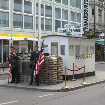
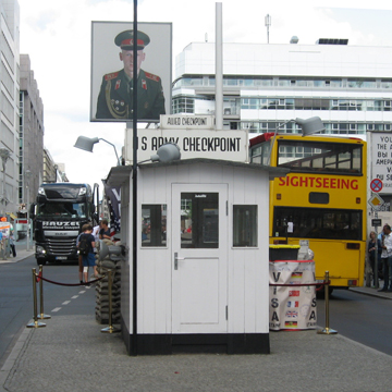
As tourists, we did the expected and took photographs of the infamous (and reconstructed) Checkpoint Charlie.
After a few more blocks, we were back on the bus and our guided tour continued through the former French quarter as we returned to the hotel.
For the next several hours of this, our final day in Berlin, we were left to our own devices for lunch.
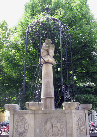
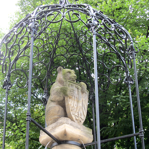
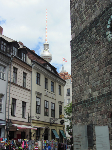
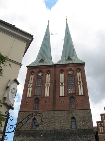
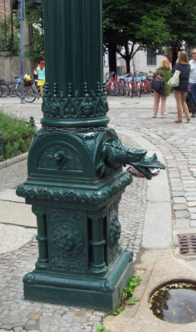
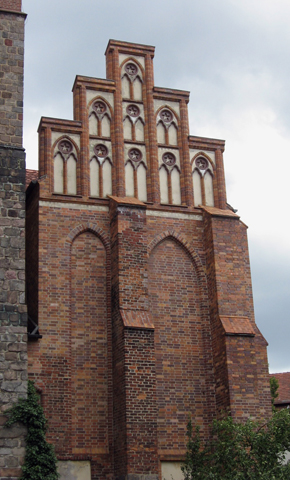
We chose to venture forth to the Nikolaiviertel—the original Berlin settlement on the banks of the River Spree. Making our way along the cobblestone streets, we found unexpected and curious street art as we navigated our way to the twin-spired Nikolaikirche that dominated the neighborhood. Unfortunately, the church was closed.
But, situated in the small public space in front of the church, there was a monument of a Berlin bear perched atop a carved column with an ornate cast-iron gazebo supported the beast and keeping the column on the up and up.
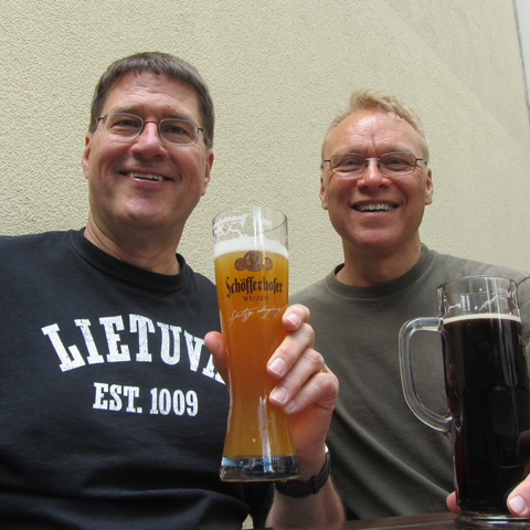
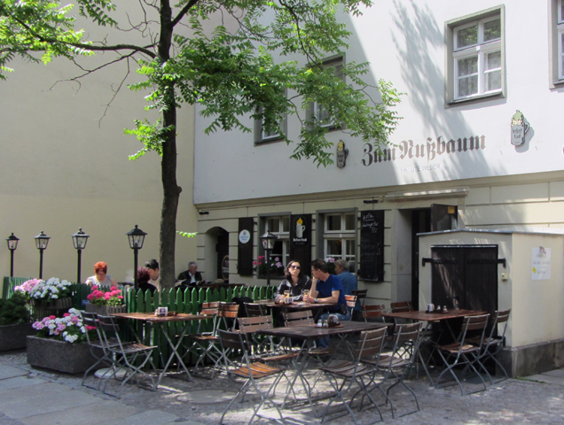
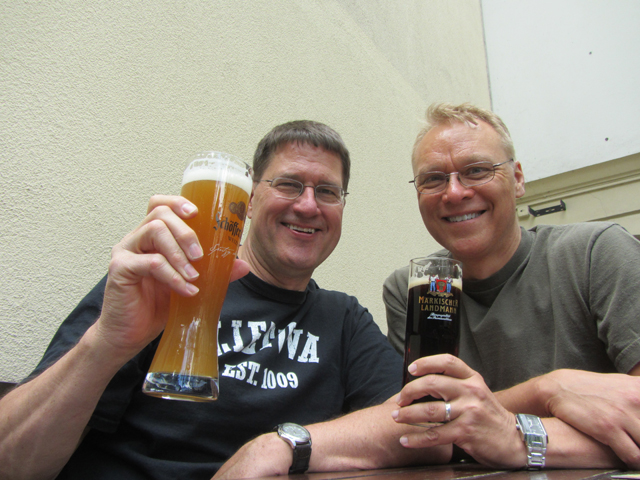
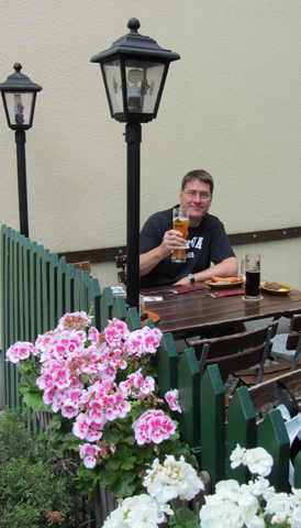
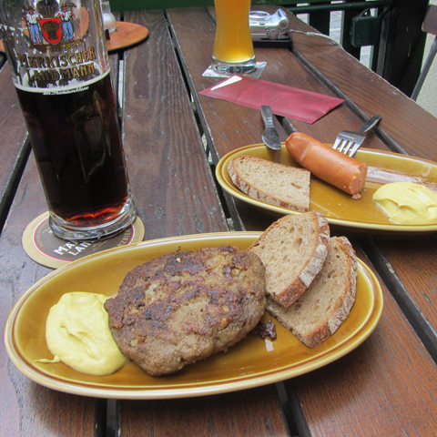
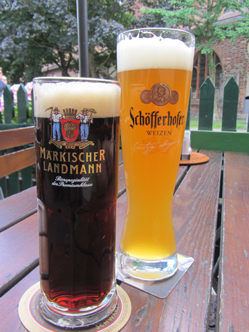
However, sightseeing aside, we were here for lunch. And around the corner from the church, we found a small outoor café—the Zum Nussbaum restaurant—where we enjoyed a light meal of bockwurst and flattened German meatballs (two orders!) washed down with, what else, bier!
Our appetites sated, we scurried back to the hotel to meet up with a sub-group of our fellow trippers for an excursion to the Berlin Wall Memorial.
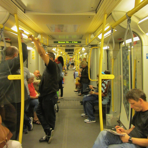
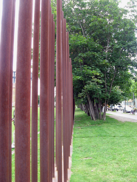
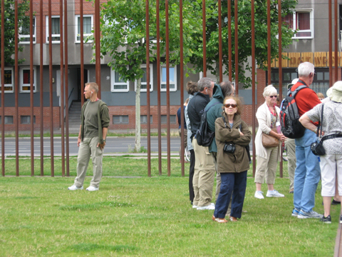
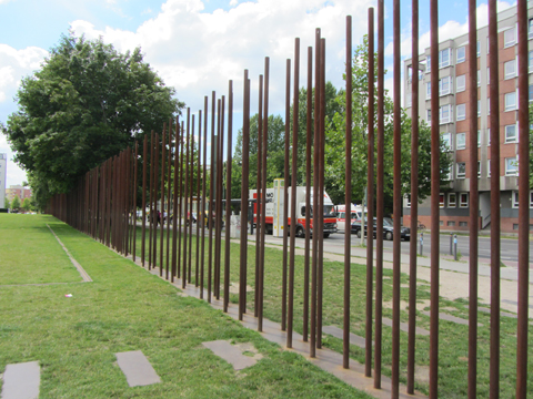
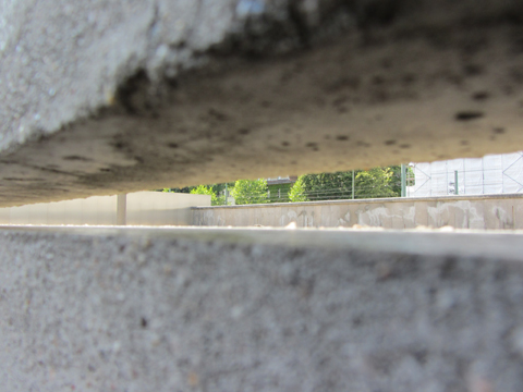
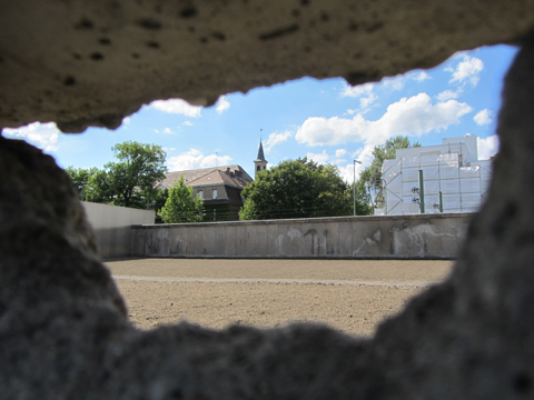
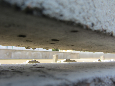
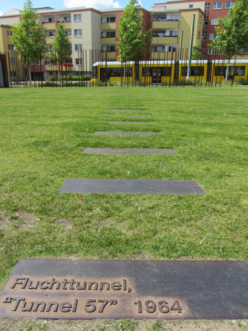
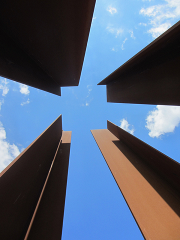
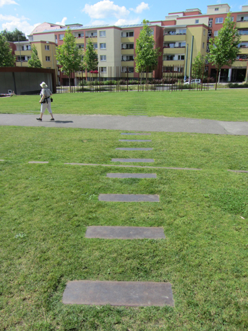
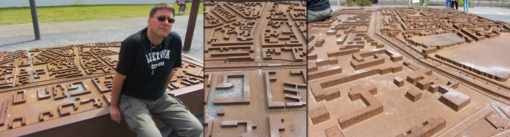
The adventure began with a ride on the U-bahn–the cars of which were joined together in such a way as to appear as if they stretched into infinity–to the Bernauer Straße station. The memorial site begins at this U-bahn station and extends over the former site of the Berlin Wall for several blocks until reaching the Nordbahnhof station. The area is replete with exhibits and memorials. Markers define former buildings. Stones are inset in the lawns to indicate the routes of former escape tunnels. Large signs provide tons of historical information. Former stretches of the wall are “reconstructed” using iron posts. There is a 200 ft. section of the original barrier as it was when the Wall fell. (Inaccessible to the public, one can view the desolate and lethal no man’s land created between the inner and outer sides through slits on the East side.) A huge three-dimensional iron map illustrates how the wall divided the neighborhood. It was a fascinating excursion made all the more real by Kati’s narrative. As a child born before 1989 and raised in the GDR, she had firsthand experience as an East German citizen.
Dinner was a group function: snitzel with brussel sprouts and potatoes…und bier. (Surprised?)
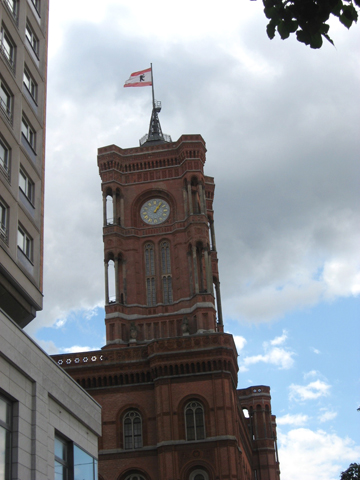
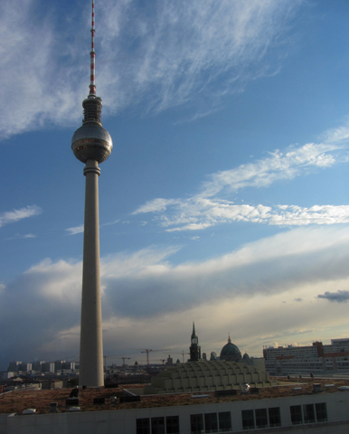
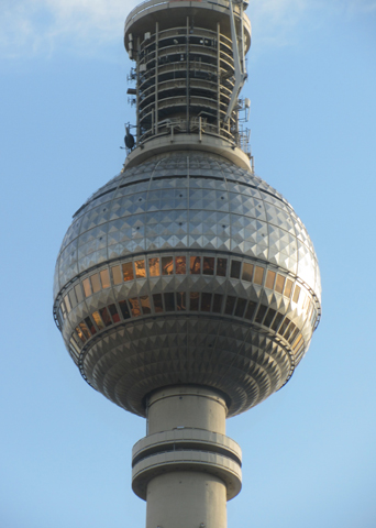
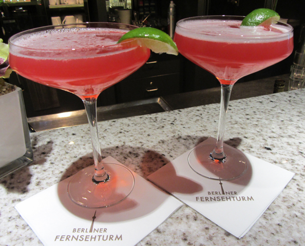
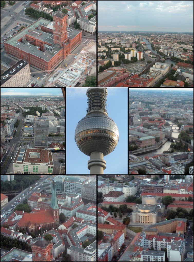
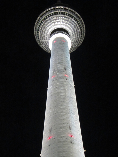
Then, as a group, we went to the top of the nearby Fernsehturm for a 360° panoramic view of Berlin as the sun was setting. Rob and I enjoyed cosmos at the bar before returning to the hotel. (Oh. There was free wi-fi in the tower’s base building…finally…and we spent a good half-hour on our smartphones catching up on mail, texts and FB.)
Returning to the room, I did the daily pix download, labeling each photo while still fresh in my mind, before packing for our next day’s revised itinerary: a stay in Leipzig.
